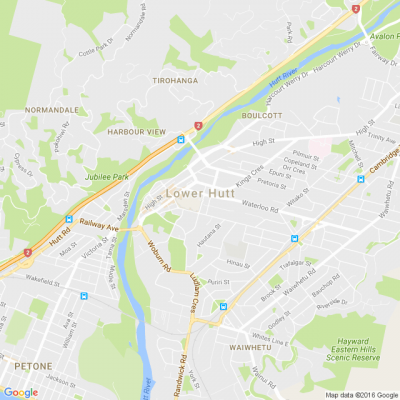
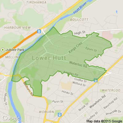
Mapping flood hazards in Lower Hutt
We’ll be in Petone tomorrow and Alicetown on Tuesday to show you draft stormwater flood hazard maps of these areas and river flood hazard maps for the wider Hutt River Valley.
If you have memories or photos of past flood events, we can use this information to ensure the finished flood maps are as accurate as possible. Information from the maps will be crucial for improving Lower Hutt’s resilience to future flooding.
Come along to the Petone Library tomorrow between 6pm and 8pm and view the draft maps, learn more about natural hazards and help us to manage their impacts on our city. More information below.

New Year, New Questions You Won’t Solve!
I get smaller every time I take a bath.
What am I?
Do you think you know the answer to our daily riddle? Don't spoil it for your neighbours! Simply 'Like' this post and we'll post the answer in the comments below at 2pm.
Want to stop seeing riddles in your newsfeed?
Head here and hover on the Following button on the top right of the page (and it will show Unfollow) and then click it. If it is giving you the option to Follow, then you've successfully unfollowed the Riddles page.

Share your summer photos! 📷
Taken some beautiful snaps lately? Whether it's rainbows, sunsets or a beautiful summer's day, we'd love you to share the joy with us.
Share a photo in the comments below

Closing the footpath on the Ava rail bridge.
KiwiRail confirms plans to shut pedestrian access to popular Hutt River bridge. 🤬🤬🤬
www.rnz.co.nz...


 Loading…